Mt. Everest 8848m. South Col Expedition
Spring
Fixed Departure: 04 April, 2018
Mt. Everest or "Sagarmatha" is the world's highest mountain in the earth at 8848m (29,028 ft.) above sea level.
Location: Asia, Nepal (Nepal - Tibet, China)
Himalayan Range: Mahalangur Himal
Height: 8848m. - (29,029 ft)
Latitude: 27º 59’ 17” N
Longitude: 86º 55’ 31” E
Trip Duration: 65, 70 Days
Normal Ascent Route: South East Ridge (South Col)
First Ascent: 29 May 1953 by Edmund Hillary and Tenzing Norgay Sherpa - First Winter Ascent 1980 Leszek Cichy and Krzysztof Wielicki
Easiest Route: Glacier/Snow/Ice climb (South Col Nepal side)
Grade: Strenuous High
Caravan Route: Kathmandu - Lukla - Namche Bazaar - Tengboche - Lobuche - Gorakshep - Everest Base Camp - Lukla - Kathmandu
 Mount Everest Climbing is truly an emotional moment standing on top of the world after all the time, effort and preparation that it takes to get there. The sense of relief and achievement on returning to base camp will stay with you for forever. For many mountaineers, climbing Everest (8,848m.) is the ultimate goal. We recognize that for most people, joining an expedition to climb the world's highest mountain is a once-in-a-lifetime opportunity. We want you to get to the top and back - safely. With this in mind, we climb Everest from the south side, via the South Col route. Generally, it is milder and less windy side than the north side with less time spent at extreme altitude. In most years this route has a higher success rate.
To be prepared for climbing Everest, you will need a good grounding in mountaineering and have at least climbed to 6,000m. Climbing an 8,000m. peak such as Cho Oyu (8,201m.) before going to Everest is the ideal preparation, giving you the experience and confidence in your ability to operate at extreme altitude. You will need strong determination and dedication, as well as good physical fitness and health to reach the summit.
 Mount Everest has two main climbing routes, the southeast ridge from Nepal and the northeast ridge from Tibet (China), as well as many others less frequently climbed routes. Of the two main routes, the southeast ridge is technically easier and is the more frequently-used route. It was the route used by Hillary and Tenzing in 1953 and the first recognized of fifteen routes to the top by 1996.
Camp 1: 6400m. – 20000ft.
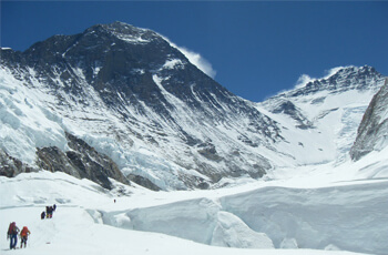
Camp 1 is situated at the flat area of snow endless snow deep crevasses and mountain walls. Because of the Sun's reflection from this place we get warm and hitting ambience at this place. In the night we listen the deep murmuring cracking sounds of crevasses beneath our tent. These are the areas where we have to walk to reach camp 2.
Camp 2: 6750m. – 21000ft.
Camp 2 is situated at the height of 6750m. – 21000ft. It is located at the foot of the icy mount Lhotse wall though where we have to go ahead. Hear bad clouds roll-in from the low range of the Himalayan valleys to the bottom of our camp 2. Some time wind here seems very violent enough to destroy the tents. After climbing these palaces we reach camp 3.
Camp 3: 7100m. – 22300ft.
Camp 3 is located at the height of 7100m. – 22300ft, adjoining to mount Lhotse wall. After climbing 4000ft. Lhotse wall by using fixed rope and with prior acclimatization it leads us to camp IV. Also on the way we have to ascend the steep allow bands (lose, down -slopping and rotten limestone). From their crossing short snowfield the route moves ahead up the Geneva Spur to the east before finishing the flats of the south col. (Another wells name meaning Saddle of pass). Oxygen should probably be use above base camp III incase of needed.
Camp 4: 8400m. – 26000ft.
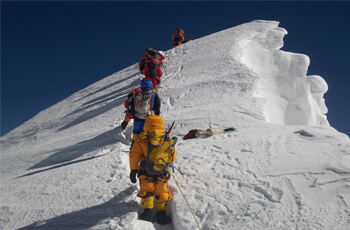
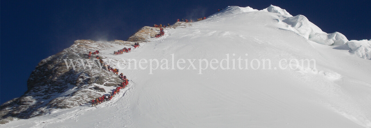
Camp 4 is located at height of 8400m. – 26000ft. It is the last camp of the Expedition. From here summit is only about 500 m distance far. This is the final and dangerous part of the climbing. This place is besieged by ferocious and violent winds. The normal best way to reach to summit is via the narrow South - East Ridge and it precedes the South Summits 28710ft.

