Mt. Nojin Kangsang Expedition
Spring 2018
(Entry Zhangmu/Exit Lhasa)
Fixed Departure: April 10, 2018
Height: 7,252m.
Latitude: 28°94'80″N
Longitude: 90°17′80″E
Entry: Zhangmu Exit: Lhasa
Trip Duration: 34 Days
Normal Ascent Route: Normal
Grade: Strenuous High
Caravan Route: Kathmandu - Zhangmu - Tingri - Shigatse - Mt. Nojin Kangsang Base Camp - Gyantse - Lhasa - Kathmandu
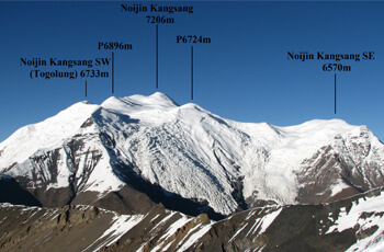
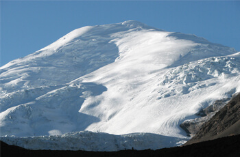
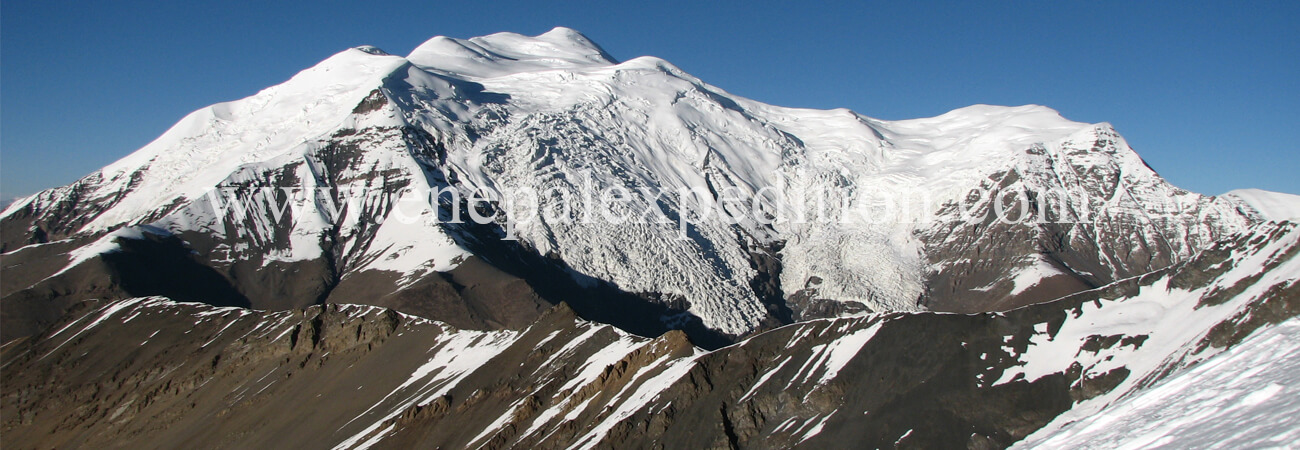
 Mt. Nojin Kangsang is one of the beautiful peaks which is not the technical expedition in comparison with other expeditions in Tibet (China). This mountain located in between the Yarlung Tsangpo River (to the north), Yamdrok Lake (to the east) and the Himalaya mountain range (to the south) - Zhangmu and Lhasa area of Tibet. The base camp located in the eastern ridge of Nojing Khangsang beyond Nojing Khangsang base camp. Nojin Kangsang was fist climbed on April 28, 1986 by a Chinese-Tibetan mountaineering team via South Face and Southwest Ridge. The approach to Noijin Kangsang offers very fine view to the mountain from both the Northeast (approach via Gampa La) and Southwest (approach via Gyantse), but the mountain can also be spotted very briefly from the main road Shigatse-Lhasa along Brahmaputra River near Ringpuk.
Noijin Kangsang History:
Noijin Kangsang is the highest peak of the massif extending around the Karo La group, to which belongs Kaluxung/Kalurong (6,674m.), and several other little know snow-capped mountains over 6,000m., many of them still unclimbed. The massif is conveniently accessed from the Nagartse – Gyantse road near the 5,036m. high Karo La pass. The lips of two major glaciers dropping from Kaluxung North Face and Noijin Kangsang South Face reach to within a few hundred meters from the highway. It is located near to the large, scenic Yamdrok Yumtso Lake, one of the main Tibetan holy lakes.
 The approach to Noijin Kangsang offers very fine view to the mountain from both the Northeast (approach via Gampa La) and Southwest (approach via Gyantse), but the mountain can also be spotted very briefly from the main road Shigatse-Lhasa along Brahmaputra River near Ringpuk. There are confusing information about the altitude of Noijin Kangsang, with different sources giving an altitude of 7,191m, 7,206m, 7,223m and 7,252m. The most detailed map gives an official altitude of 7,206m. Prominence of Noijin Kangsang is 2,160m. (7,087ft), with a saddle located at Karo La (5,036m.) connecting with higher peaks at the Tibet-Bhutan border.
First ascent and current climbing route:
Mt. Noijin Kangsang was first climbed on 28 April 1986 by Chinese-Tibetan team from the South and currently, most expeditions ascend it via the East ridge, which does not presents important technical difficulties and objective dangers. Recently, it has gained more attention with a few commercial expeditions attempting its summit each year. However, it remains a very interesting expedition goal for small groups with low budget due to its easy access and uncomplicated logistic requirements.

