Mt. Nyainquentanglha Expedition
Spring 2018
Entry/Exit: Lhasa (By flight)
Fixed Departure: April 10, 2018
Height: 7,162m.- (23,497 ft)
Latitude: 30°30′00″N
Longitude: 94°30′00″E
Entry/Exit: Lhasa
Trip Duration: 35 Days
Normal Ascent Route: Normal
Grade: Strenuous High
First Ascent: 8 May 1986 by a Japanese expedition
Caravan Route: Kathmandu - Lhasa - Tingri - Mt. Nyainquentanglha Base Camp - Advance Base Camp - Lhasa - Kathmandu
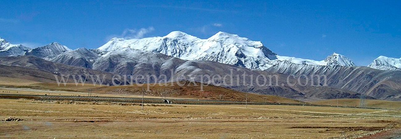
 Mt. Nyainquentanglha (Nyenchen Tanglha) is very beautiful mountain and it is a 700-kilometer (430mile) long mountain range located in the Tibet autonomous region of the People's Republic of China. It has an average latitude of 30°30'N and a longitude between 90°E and 97°E. Together with the Gangdise (Gangtise) range located further west, it forms the Transhimalaya (or Gangdise-Nyenchen Tanglha) range, which runs parallel to the main Himalayan range north of the Yarlung Tsangpo river. The range is divided into two main parts; the West and East Nyenchen Tanglha, with a division at the 5,432m. high Tro La pass near Lhari. West Nyenchen Tanglha includes the four highest peaks in the range, all above 7000m. Mount Nyenchen Tanglha (Nyainqêntanglha 7,162m.), Nyenchen Tanglha II (7,117m.), Nyenchen Tanglha III (7,046m.) and Jomo Gangtse (Qungmoganze) (7,048m.), all located in Damxung (Damshung) County of Lhasa Prefecture.
West Nyenchen Tanglha separates the basins of the Yarlung Tsangpo River (Brahmaputra) in the south from the endorheic basins of the Changtang in the north. In particular, it lies to the southeast of Namtso Lake. Similarly east Nyenchen Tanglha, located in the prefecture of Nagchu, Chamdo and Nyingchi, marks the water divide between the Yarlung Tsangpo to the south and the Nak Chu river (which becomes the Nujiang and Salween in its lower reach) to the north. Most of the peaks in East Nyenchen Tanglha, sometimes called the Alps of Tibet, are unclimbed.

